Search Results
Showing results 1 to 2 of 2

Topographic Investigation: Map an Underwater Surface
Source Institutions
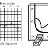
In this activity, learners create a map of a hidden surface using a "sounding stick" -- a technique similar to how underwater maps were once made.

Map That Habitat
Source Institutions
Historically, sea floor mapping (bathymetry) was done by soundings.
