Search Results
Showing results 1 to 2 of 2
Mapping Sea Level Rise
Source Institutions
In this activity related to climate change, learners create and explore topographical maps as a means of studying sea level rise.
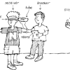
Tracking Otters
Source Institutions
This activity (on pages 38-43) has learners simulate the way scientists track and map the movement of otters in the wild using radio trackers.