Search Results
Showing results 1 to 10 of 10
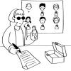
Public Key Encryption: Kid Krypto
Source Institutions
In this activity, learners conduct a simulation exercise related to public key encryption and try to intercept a message sent between two learners.
Fragile Waters
Source Institutions
In this activity (on pages 18-29) learners explore the impact of the March 24, 1989 oil spill in Alaska caused by the Exxon Valdez tanker.
The Poor Cartographer: Graph Coloring
Source Institutions
In this activity, learners help a poor cartographer color in the countries on a map, making sure each country is colored a different color than any of its neighbors.
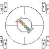
Particle Detection
Source Institutions
By tossing, collecting, and sorting beanbags, learners understand how the IBEX spacecraft uses its sensors to detect and map the locations of particle types in the interstellar boundary.

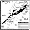
Map That Habitat
Source Institutions
Historically, sea floor mapping (bathymetry) was done by soundings.
Tourist Town: Dominating Sets
Source Institutions
In this activity, learners use a fictitious map of "Tourist Town" and counters to problem solve how to place ice-cream vans on street intersections so that every other intersection is connected to one

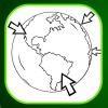
Using Different Models of Earth
Source Institutions
In this activity, learners explore how the shapes, sizes, and distances of land masses appear differently on two different models of Earth: an icosahedron and a flat map.

Aerial Imagery
Source Institutions
This activity (on page 2 of the PDF under SciGirls Activity: Earthquakes) is a full inquiry investigation into aerial imagery.
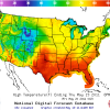
Forward Thinking
Source Institutions
In this activity, learners create their own weather forecast map.
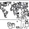
Where on Earth?
Source Institutions
Learners look at labels on items in the room to determine where each item was manufactured, then write about the item on an index card.